Indian Express
Indian Express··3 min read
Monsoon fury looms over Kerala as IMD issues orange alert; Delhi braces for dust storms, thunderstorms later this week
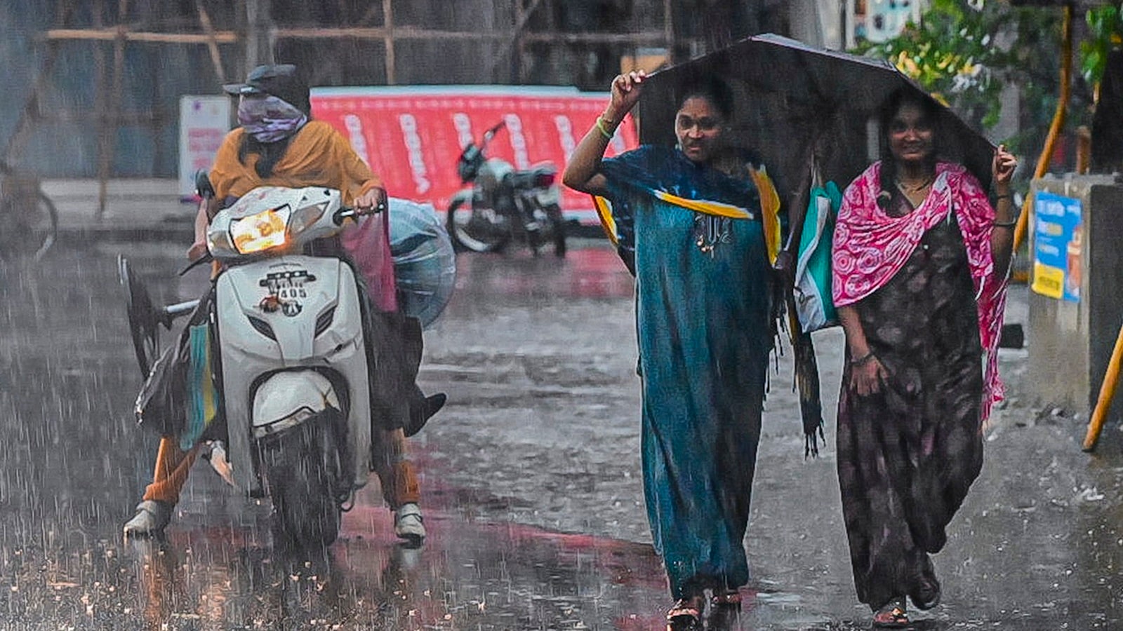
People cover themselves amid heavy rainfall, in Sangli, Maharashtra. (Source: PTI Photo)
As torrential monsoon rains lash parts of Kerala, the India Meteorological Department (IMD) has sounded an Orange Alert for several northern districts, warning of heavy to very heavy rainfall and an increased risk of floods and landslides. While the southwest monsoon continues its advance across large parts of the country, Delhi-NCR is bracing for a different weather pattern, with soaring temperatures over the next few days before thunderstorms and strong winds are expected to bring relief later this week.
Orange alert for North Kerala
The IMD has issued an orange alert for Kozhikode, Kannur, and Kasaragod districts on June 8, warning of heavy rainfall of 7-11 cm and very heavy rainfall of 12-20 cm at isolated places within 24 hours. The alert will be extended to Malappuram, Kozhikode, Wayanad, Kannur, and Kasaragod districts on June 9.
A yellow alert has also been issued for most districts of Kerala and Lakshadweep, indicating the possibility of heavy rainfall through June 11.
The weather office said rain or thundershowers are likely at most places across Kerala and Lakshadweep from June 8 to June 13.
Landslide and flood threat
Authorities have warned of potential flash floods, waterlogging in low-lying areas, landslides, and mudslides due to intense spells of rainfall.
The weather department said heavy rain could disrupt road traffic, uproot trees, damage power infrastructure, and affect vulnerable structures. Standing crops and vegetables nearing harvest may also suffer damage.
Strong surface winds reaching 40-50 kmph are expected across Kerala and Lakshadweep on June 8 and 9.
Story continues below this ad
Rough seas along coastlines
Marine warnings remain in force over the Arabian Sea and Bay of Bengal. Squally winds of 45-55 kmph, gusting up to 65 kmph, are likely over several sea areas, including waters adjoining Lakshadweep, the Maldives, Oman, and Somalia coasts.
Fishermen have been advised to exercise caution as rough sea conditions are expected to persist over large parts of the Arabian Sea and Bay of Bengal.
Monsoon advances further
The IMD said conditions remain favourable for the further advance of the southwest monsoon into additional parts of Maharashtra, Karnataka, Telangana, Andhra Pradesh, Chhattisgarh, Odisha, and the remaining northeastern states over the next three to four days.
Isolated heavy to very heavy rainfall is likely over Kerala, Karnataka, Tamil Nadu, and northeastern India during the coming week, with extremely heavy rainfall forecast at isolated places in Karnataka between June 8 and June 10.
Story continues below this ad
Delhi heat and storms
In the national capital, temperatures are expected to remain above normal for the next few days, with maximum temperatures touching 42-44 degrees Celsius between June 9 and June 10.
Delhi is likely to witness partly cloudy skies and possible thundery development on June 8. Conditions will remain mainly clear on June 9 before clouds increase again on June 10.
The IMD has forecast a spell of light rain accompanied by thunderstorms, lightning, and strong winds of 40-50 kmph, gusting to 60 kmph, across Delhi-NCR on June 11. The forecast covers all districts of Delhi as well as Faridabad, Gurugram, Noida, and Ghaziabad.
Heatwave
Although temperatures in Delhi are expected to climb to 44 degrees Celsius this week, the IMD has not forecast heatwave conditions for the city. A significant drop of 4-6 degrees Celsius is expected after June 11 as thunderstorms and rain increase.
Story continues below this ad
Across the northwest, isolated thunderstorms and gusty winds are likely over Delhi, Punjab, Haryana, and Rajasthan between June 11 and June 13 under the influence of a fresh western disturbance expected to affect the western Himalayan region.
View original source — Indian Express ↗
More from newsGlobal
The Punch
PoliticsJun 8, 2026 · 1 min
Florentino Pérez re-elected Real Madrid president
The Punch

Philippine Daily Inquirer
PoliticsJun 8, 2026 · 1 min
PNVF slams board members' withdrawal of support vs Liao
Philippine Daily Inquirer

Philippine Daily Inquirer
PoliticsJun 8, 2026 · 1 min
Not marines, but 'kargadors': Tulfo questions credibility of 'bagmen'
Philippine Daily Inquirer