
Philippine Daily Inquirer
Philippine Daily Inquirer··4 min read
Why hazard exposure alone doesn’t determine disaster risk
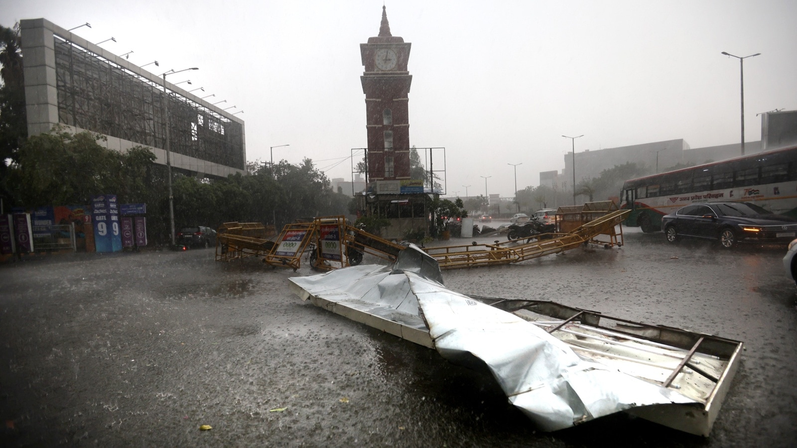
MANILA, Philippines — As the southwest monsoon, or habagat, begins to bring more rain across the country, many Filipinos naturally associate disaster risk with provinces that sit directly in the path of tropical cyclones or other natural hazards.
However, a new analysis by University of the Philippines Diliman associate professor and Inquirer data scientist Dr. Rogelio Alicor Panao suggests the geography of risk is far more complicated.
Using data from the National Disaster Preparedness Baseline Assessment of the Pacific Disaster Center, Panao found that the provinces with the highest exposure to natural hazards are not always the ones facing the highest overall disaster risk. Instead, socioeconomic vulnerability and the ability of communities to respond to disasters often play a decisive role in determining which areas are most at risk.
Article continues after this advertisement
The assessment measures multi-hazard risk (MHR) as a combination of three factors: hazard exposure, socioeconomic vulnerability and coping capacity. In other words, it does not look at hazards alone but also considers how vulnerable a population is and how well institutions and communities can prepare for, respond to and recover from disasters.
FEATURED STORIES
NEWSINFO
NEWSINFO
NEWSINFO
The findings come as the Philippine Atmospheric, Geophysical and Astronomical Services Administration (Pagasa) announced the start of the southwest monsoon season, a weather pattern that often signals the approach of the rainy months.
“Recent analyses over the past days have shown the presence of southwesterly winds over the western section of the country, and may continue due to the recent development of a tropical cyclone over the Philippine Sea,” Pagasa said.
READ: Habagat season begins, Pagasa announces
The weather bureau added that these developments “suggest the start of the southwest monsoon (habagat), which is one of the precursors of the onset of the rainy season.”
Article continues after this advertisement
Exposure and risk are not the same
One of the clearest examples in Panao’s analysis is Isabela.
According to the assessment, Isabela recorded the country’s highest multi-hazard exposure score at 0.901, reflecting its exposure to earthquakes, tropical cyclones and liquefaction. Yet despite facing multiple hazards, the province ranked only sixth in overall disaster risk.
Article continues after this advertisement
Panao said this illustrates how stronger social conditions and more functional institutions can help prevent hazards from translating into severe disaster outcomes.
The assessment shows the opposite pattern in Maguindanao. Although the province ranked only 53rd in hazard exposure, it registered the highest overall disaster risk in the country.
According to Panao’s analysis, underlying vulnerabilities help explain the disparity. About 40% of the population lives in poverty, only 52% have access to clean water, and emergency response capacity remains limited compared with much of the country.
“When people think about disaster risk in the Philippines, geography is usually the first explanation,” Panao wrote in his analysis. “Provinces that sit in the path of typhoons or lie along fault lines are assumed to carry the highest danger.”
The role of resilience
Other provinces highlighted in the assessment reinforce the same pattern.
Bataan, for example, ranked 27th in hazard exposure but only 74th in overall disaster risk. According to Panao, the province benefits from some of the country’s lowest vulnerability levels and one of its strongest coping capacities, ranking fifth nationwide on that measure. Widespread access to roads, electricity and mobile communications helps communities absorb shocks more effectively when disasters occur.
The National Capital Region also stands out. Based on exposure alone, it appears “highly at risk given its dense population and multiple hazards,” Panao said. Yet it ranked only 46th in overall disaster risk because vulnerability is relatively low and coping capacity is comparatively high.
These examples highlight a central finding of the assessment: Hazard exposure by itself does not determine disaster risk.
“Hazards alone therefore do not determine disaster risk,” Panao wrote. “Some places remain resilient despite high exposure because institutions and services are strong. Others become highly vulnerable even without frequent hazards because poverty and weak infrastructure limit their ability to respond.”
RELATED STORY: From storms to earthquakes: How natural calamities affected Filipinos in 2025
As the rainy season begins
The analysis arrives as Pagasa warns of wetter conditions in the coming weeks.
Last week, the state weather bureau formally declared the onset of the rainy season across the western sections of Luzon and the Visayas after observing “occasional to frequent rains associated with the Southwest Monsoon (Habagat)” over the previous five days.
Pagasa has also said the country is transitioning toward the rainy season, with more frequent rains and thunderstorms expected in many areas.
“Moreover, with the looming El Niño, enhanced Habagat rainfall over the western sections of Luzon and Visayas is highly likely during the season,” the agency said.
READ: Pagasa declares start of rainy season in western parts of Luzon, Visayas
Following the declaration, Pagasa temporarily suspended its daily heat index forecasts, citing the increasing frequency of rainfall associated with the southwest monsoon.
READ: Pagasa pauses heat index forecasts amid rainy season onset
For Panao, however, the assessment suggests that understanding disaster risk requires looking beyond weather forecasts and cyclone tracks.
“Places with the greatest exposure to hazards are not always the ones with the highest overall risk,” he wrote. /dm
Your subscription could not be saved. Please try again.
Your subscription has been successful.
RELATED STORY: Disasters in PH: Experts say there’s nothing natural about it
View original source — Philippine Daily Inquirer ↗
Related stories

Philippine Daily Inquirer
NewsJun 3, 2026 · 1 min
Rainy Thursday in parts of Luzon due to 'habagat'
Philippine Daily Inquirer

Philippine Daily Inquirer
NewsJun 4, 2026 · 1 min
Habagat to continue to drench most of Luzon Thursday
Philippine Daily Inquirer

Philippine Daily Inquirer
NewsJun 8, 2026 · 1 min
Cloudy Tuesday with rain showers due to 'habagat' - Pagasa
Philippine Daily Inquirer
Indian Express
NewsJun 5, 2026 · 1 min
India Weather Today: Day after monsoon onset, heavy rainfall, hailstorms likely to prevail across India
Indian Express