Indian Express
Why Mumbai is staring at its most delayed monsoon onset in two decades
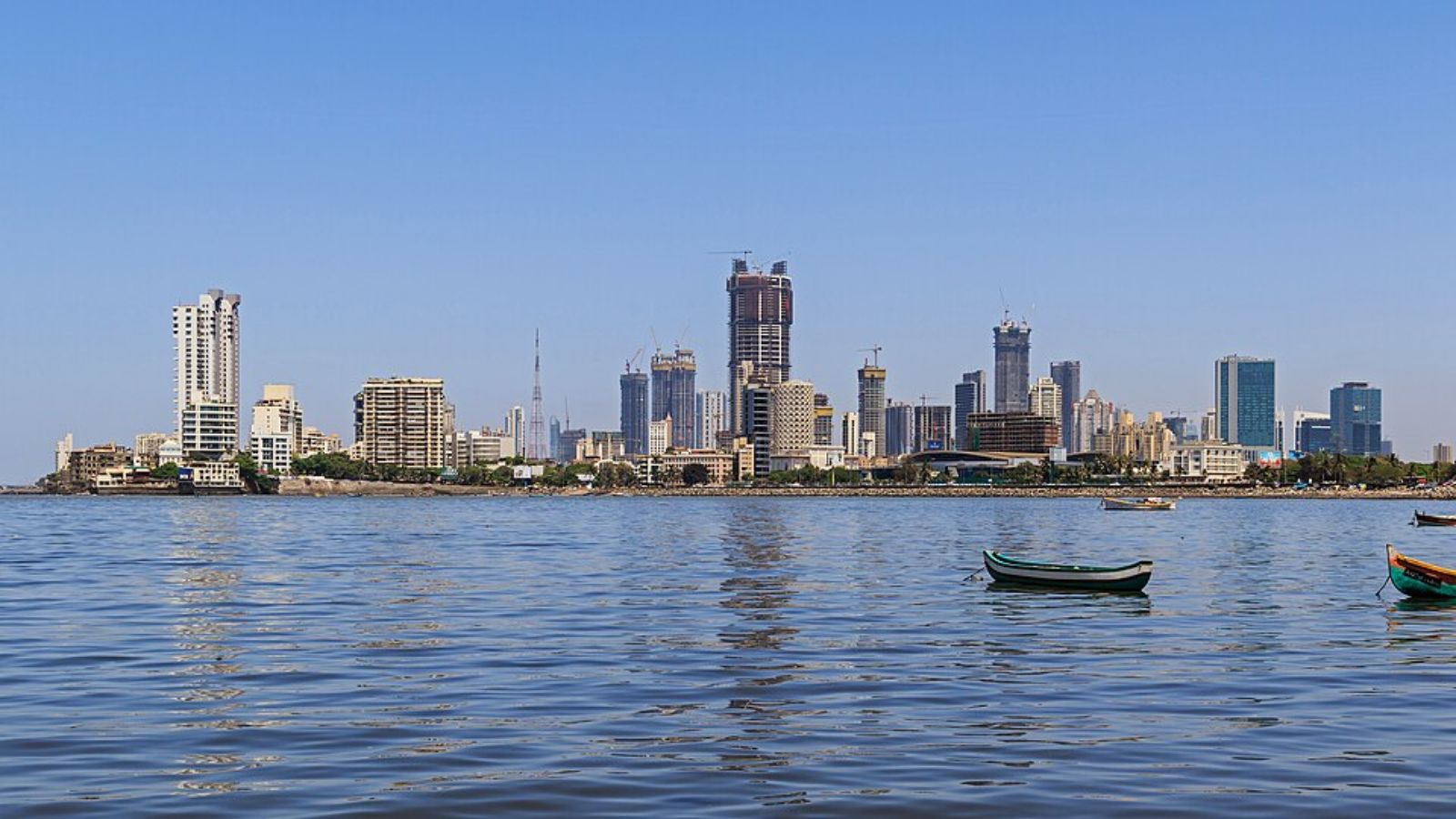
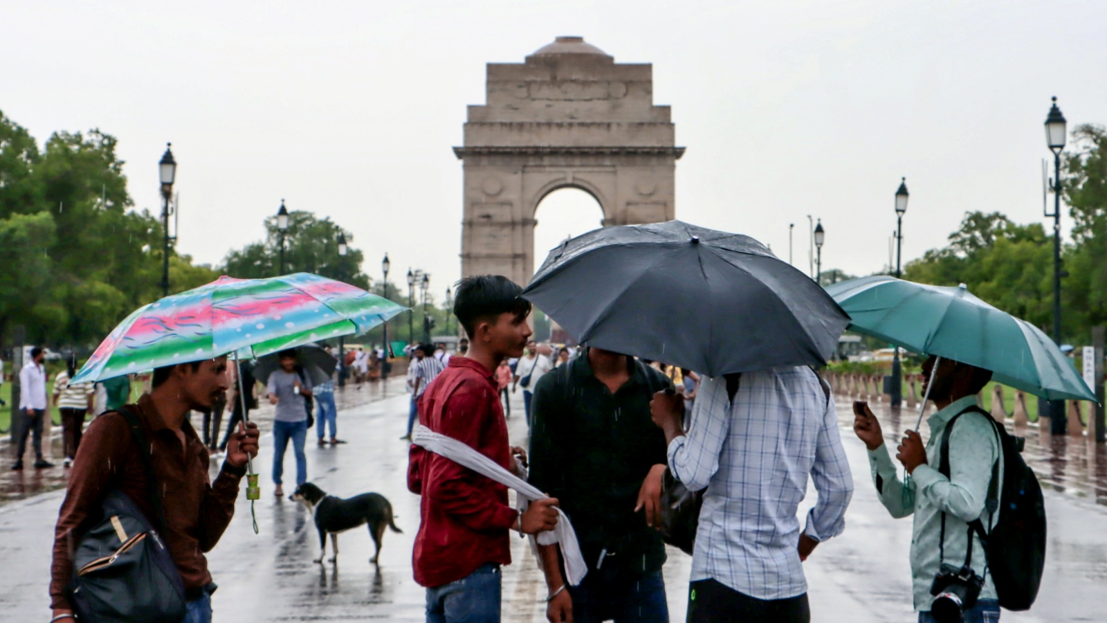
Mumbai will continue to reel under hot and humid conditions over the weekend with the India Meteorological Department’s (IMD) weather prediction models forecasting a surge in southwest monsoon over Konkan belt only after June 25.
As of Thursday, the onset of southwest monsoon in Mumbai stands delayed by a week as the normal date of onset for the season is June 11.
Earlier on June 4, southwest monsoon arrived in Kerala.
However, after an early advancement from Kerala into Maharashtra by June 6, the surge in monsoon winds weakened. According to the weather bureau, southwest monsoon is currently stalled over southern Konkan and adjoining areas of South Madhya Maharashtra owing to absence of favourable large-scale meteorological conditions.
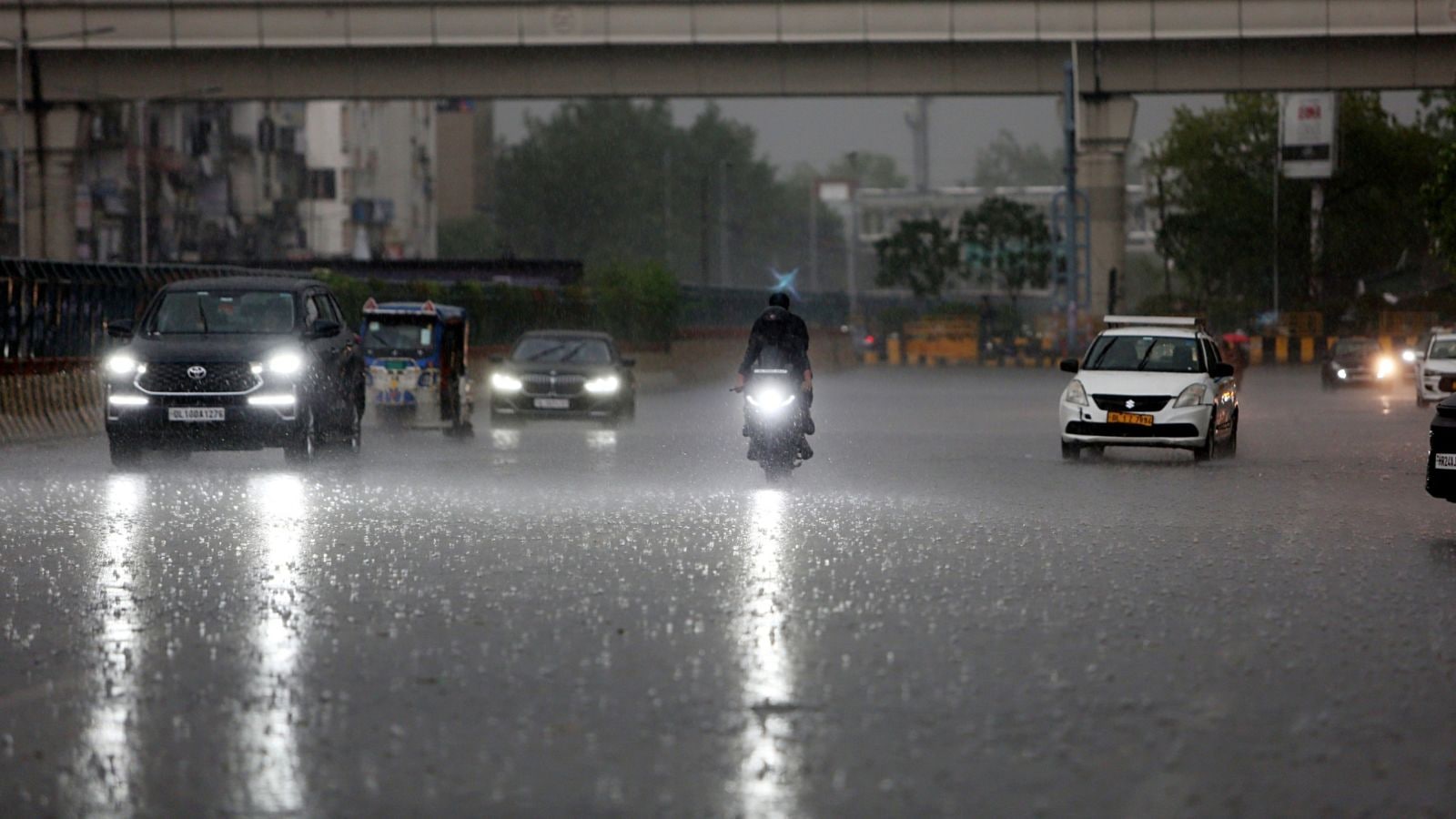
“Rainfall activity over most parts of Maharashtra is expected to remain isolated during the next 4 – 5 days,” the IMD said in the statement on Wednesday.
What has stalled the advancement of southwest monsoon?
Meteorologists have attributed the temporary slowdown in advancement of southwest monsoon to a lack of active systems which are responsible for good rain activity during monsoon season.
“Previously, we had favourable meteorological conditions and a strong surge in the flow of monsoon which is responsible for incursion of moisture, continuous clouding and intensive rainfall. However, over the past week, the surge in monsoon flow has weakened,” a senior IMD scientist explained. Furthermore, low-level southwesterly winds have also weakened, preventing movement of moisture towards the northern districts of Maharashtra and beyond.
According to the IMD, prevailing large-scale circulation patterns like Madden-Julian Oscillation (MJO) are not indicating strong support for monsoon advancement over parts of Maharashtra. MJO. MJO, a complex, moving system of winds, clouds and pressure, originates in the Indian Ocean and is one the most important factors influencing Indian monsoons. MJO travels eastward at the speed of 4-8 metres per second. MJO wind bands can travel around the world and cause significant weather changes within 30-60 days. In favourable phases, they can enhance monsoon rainfall over India.
Story continues below this ad
Last year, when Mumbai witnessed its earliest monsoon onset in 75 years on May 26, an active MJO had been attributed as a crucial factor.
Besides an inactive MJO, monsoon has further slowed owing to a weakened ‘cross equatorial flow over the Arabian Sea and Indian Ocean’. “This flow is a key source of moisture for the Southwest monsoon,” IMD scientists have said.
Additionally, IMD scientists have said that dominant monsoon systems like off shore troughs, low-pressure areas or cyclonic circulations over Arabian Sea and Bay of Bengal – that usher in good monsoon showers – are virtually absent at the moment.
Is delay in onset a normal phenomenon?
While the normal date of monsoon onset in Mumbai as per the long period average stands at June 11, IMD scientists said that the dates are not affixed. “The onset of monsoon is subject to the favourable monsoon conditions and only when all factors are met, onset is declared. While the normal date is June 11, monsoons can be declared early or later subject to the prevailing conditions,” explained scientists from IMD.
Story continues below this ad
Records from the weather bureau showed that in the past two decades, the city has experienced prolonged delay in onset of southwest monsoon in at least nine years. Of these, the most delayed advancement of monsoon were recorded on June 25 in the years, 2019 and 2023. Following this, the second delayed onset of monsoon was recorded in 2009 where arrival was declared on June 21.
If the IMD’s current numerical weather forecast of June 25 for Konkan proves right, the city may experience its most delayed onset in nearly two decades.
This marks a stark contrast from the previous year when Mumbai experienced its earliest recorded monsoon in 75 years on May 26.
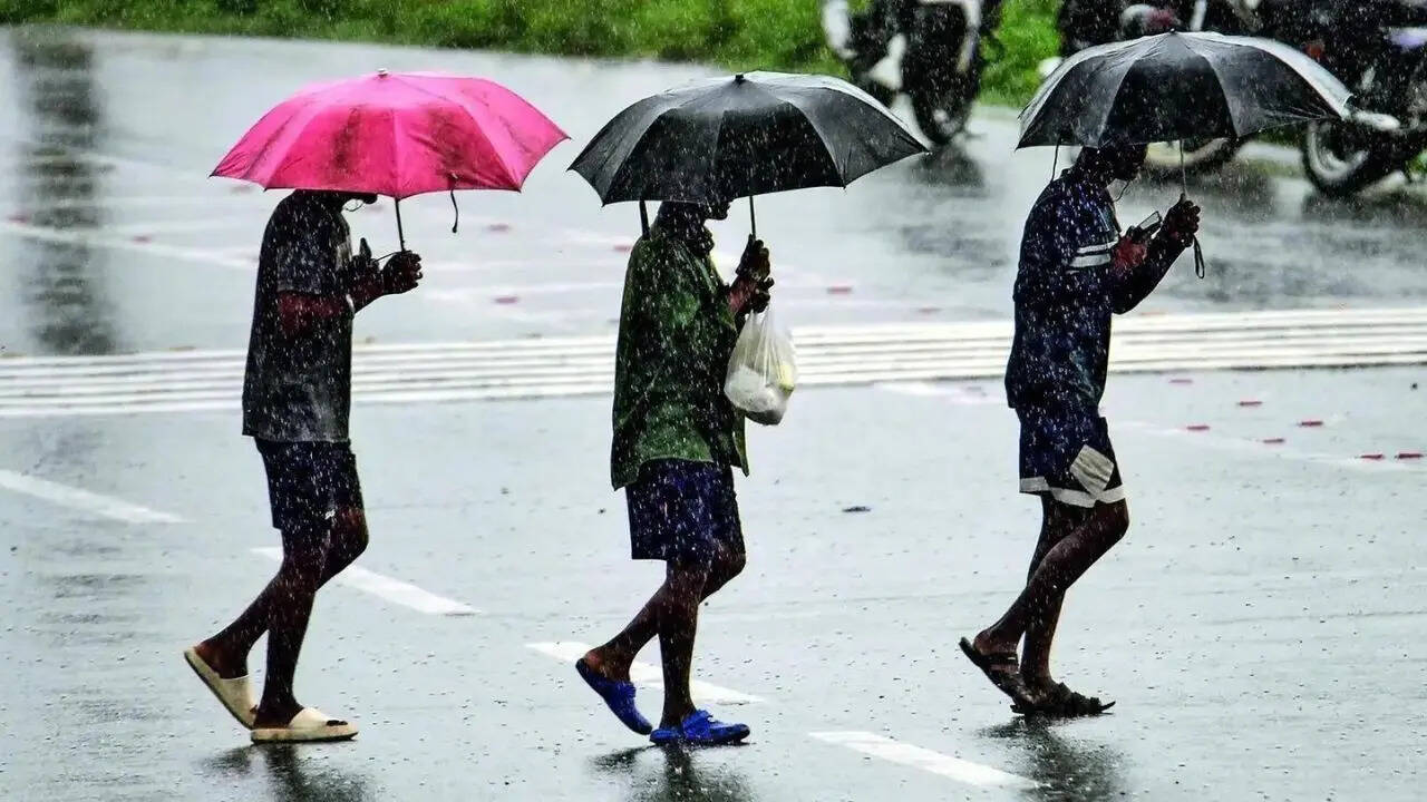
How has pre-monsoon rain fared in the city?
Amidst delayed monsoon onset, heavy pre-monsoon showers have also eluded the city. In what has left the city reeling under high temperatures, Mumbai has experienced only patchy spells of rainfall over the past few weeks.
Story continues below this ad
So far, data from IMD shows that Mumbai’s Colaba observatory has received 4.3 mm rain this month while Santacruz observatory has logged 13 mm rain. This is a significant departure from the actual average rainfall for the month which stands at 526 mm.
View original source — Indian Express ↗
Related stories
Indian Express
NewsJun 6, 2026 · 1 min
Goa’s early date with monsoon, Maharashtra sees onset too
Indian Express
Indian Express
TechnologyJun 18, 2026 · 1 min
Why has monsoon progress stalled, and when can rains be expected next?
Indian Express
Times of India
NewsJun 4, 2026 · 1 min
Monsoon arrives in Kerala, after 3-day delay
Times of India
Indian Express
NewsJun 18, 2026 · 1 min
Wait for monsoon prolongs in Maharashtra, intermittent rain likely to continue in Delhi
Indian Express