
Philippine Daily Inquirer
Philippine Daily Inquirer··1 min read
Storm outside PAR intensifies; may become Typhoon ‘Francisco’ by Sunday
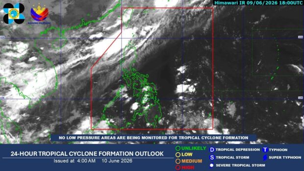
MANILA, Philippines — Tropical Storm Mekkhala gained strength on Saturday morning as it moved toward Southeastern Luzon, though it remains outside the Philippine Area of Responsibility (PAR), according to state weather bureau.
In its 11 a.m. update, the Philippine Atmospheric, Geophysical, and Astronomical Services Administration (Pagasa) located the tropical storm at 1,590 kilometers east of Southeastern Luzon.
READ: Cyclone outside PAR now tropical storm; rains seen in parts of PH
It gained more strength as it was carrying a maximum wind speed of 85 kilometers per hour (kph) and gustiness of up to 105 kph. It was moving in a westward direction at 20 kph.
Pagasa also maintained its forecast that the tropical storm will enter the PAR by Saturday evening or Sunday morning, and it will be named Francisco once inside the country. Pagasa added that the tropical storm will continue to intensify and may develop into a typhoon by Sunday.
READ: Trough of tropical storm to bring rains to Visayas, Mindanao
The bureau shared that Mekkhala will start affecting the weather conditions of Extreme Northern Luzon on Tuesday while moderate to rough sea conditions will prevail over the northern and eastern coastal waters of Northern Luzon on Tuesday.
It added that the hoisting of Wind Signal No. 1 over eastern sections of Northern Luzon is not being ruled out “due to its possible close proximity to land on Tuesday (23 June) and Wednesday (24 June) and the possible changes in the track forecast in the succeeding bulletins.” /mr
Your subscription could not be saved. Please try again.
Your subscription has been successful.
Read Next
Disclaimer: The comments uploaded on this site do not necessarily represent or reflect the views of management and owner of Cebudailynews. We reserve the right to exclude comments that we deem to be inconsistent with our editorial standards.
View original source — Philippine Daily Inquirer ↗
Related stories

Philippine Daily Inquirer
NewsJun 20, 2026 · 1 min
Tropical storm outside PAR slightly intensifies on Saturday morning
Philippine Daily Inquirer

Philippine Daily Inquirer
NewsJun 19, 2026 · 1 min
Tropical depression outside PAR may become a storm late Friday
Philippine Daily Inquirer

Philippine Daily Inquirer
NewsJun 19, 2026 · 1 min
Cyclone outside PAR now tropical storm; rains seen in parts of PH
Philippine Daily Inquirer
Philippine Daily Inquirer
TechnologyJun 9, 2026 · 1 min
'Habagat' weakens; thunderstorms expected across PH – Pagasa
Philippine Daily Inquirer