
Indian Express
Indian Express··2 min read
IMD prediction for West Bengal: Heavy rain likely in north, no cyclone threat
3 min readKolkataJun 20, 2026 05:36 PM IST
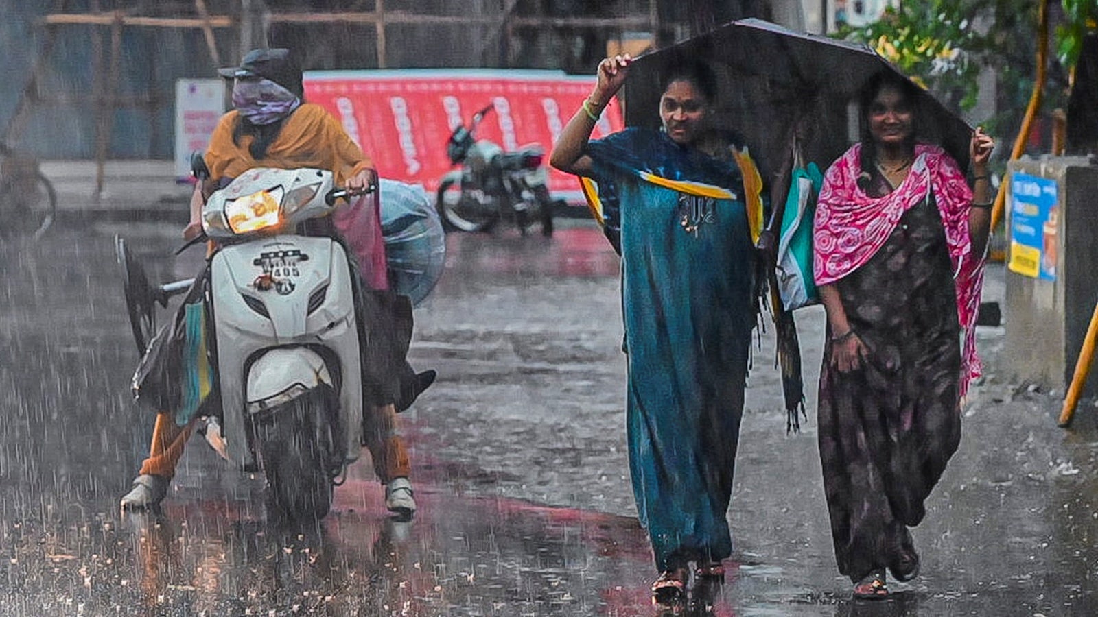
Thunderstorms accompanied by lightning and gusty surface winds reaching 30 to 50 kmph are likely over both North and South Bengal. (File Photo)
Written by Subhosree Modak
The India Meteorological Department (IMD) has forecast active monsoon conditions across West Bengal over the next two weeks.
According to the IMD’s weather outlook for the period from June 19 to July 2, widespread light to moderate rain and thundershowers are very likely over North Bengal during the first week (June 19 to June 25).
In South Bengal, fairly widespread light to moderate rain and thundershowers are expected during the same period. Isolated heavy rainfall may occur in some districts. Thunderstorms accompanied by lightning and gusty surface winds reaching 30 to 50 kmph are likely over both North and South Bengal.
The IMD said overall rainfall activity during the first week is likely to remain near normal over both North and South Bengal, with a slight negative departure from normal.
The forecast comes at a time when the state continues to record a rainfall deficit. West Bengal received 50.9 mm of rainfall during the week from June 11 to June 17 against a normal of 66 mm, registering a deficit of 23 per cent. Seasonal rainfall from June 1 to June 17 stood at 114.9 mm against the normal 133.3 mm, a deficit of 14 per cent.
For the second week, from June 26 to July 2, widespread light to moderate rain and thundershowers are likely to continue over North Bengal. The IMD has forecast isolated heavy to very heavy rainfall over northern districts during this period, with the possibility of extremely heavy rainfall at one or two places on some days.
Story continues below this ad
South Bengal is expected to receive scattered to fairly widespread light to moderate rain and thundershowers during the second week. Thunderstorms with lightning and gusty winds of 30 to 50 kmph are also likely to occur across the region.
According to the forecast, overall rainfall activity during the second week is likely to remain near normal over North Bengal but below normal over South Bengal.
The IMD has also ruled out the likelihood of cyclogenesis, or the formation of a depression, during the forecast period. However, it has indicated the possibility of the development of an upper-air cyclonic circulation over the north and adjoining central Bay of Bengal towards the end of the first week.
During the past week, maximum temperatures were above normal by 3 degree Celsius to 4 degree Celsius at one or two places in both North and South Bengal. The highest maximum temperature of 39.4 degree Celsius in the state during this period was recorded at Asansol on June 16, while Malda recorded 36.3 degree Celsius on June 17.
(Subhosree Modak is an intern with The Indian Express)
View original source — Indian Express ↗
Related stories

Indian Express
NewsJun 19, 2026 · 1 min
IMD predicts ‘heaviest, dangerous rainfall’ in north Bengal till Sunday
Indian Express

Indian Express
NewsJun 4, 2026 · 1 min
Kolkata weather forecast: IMD predicts rain, thunderstorms over next 7 days
Indian Express

Indian Express
NewsJun 10, 2026 · 1 min
Heatwave to end; rain and thunderstorms likely in Chandigarh, Punjab and Haryana from tomorrow
Indian Express
Indian Express
NewsJun 10, 2026 · 1 min
IMD forecast: Delhi likely to cool down on June 11; heavy rain batters Kerala, Karnataka
Indian Express