
Philippine Daily Inquirer
Philippine Daily Inquirer··1 min read
Signal No. 1 in 3 areas as Typhoon Francisco intensifies
MANILA, Philippines — Tropical Cyclone Wind Signal (TCWS) no. 1 has been raised over three areas in Northern Luzon as Typhoon Francisco (international name: Mekkhala) further intensified on Monday morning, according to the state weather bureau.
In its 5 a.m. bulletin, the Philippine Atmospheric, Geophysical, and Astronomical Services Administration (Pagasa) said Francisco, which was last spotted some 715 kilometers east of Tuguegarao City, Cagayan, now packs a maximum sustained wind speed of of 140 kilometers per hour (kph) near the center and gusts up to 170 kph while moving west-northwest at 30 kph.
TCWS No. 1 is currently in effect over Batanes, northeastern portion of Cagayan (Gonzaga, Santa Ana) and the eastern portion of Babuyan Islands (Babuyan Is., Didicas Is., Camiguin Is.,)
Article continues after this advertisement
READ: Francisco now a typhoon — Pagasa
FEATURED STORIES
NEWSINFO
NEWSINFO
NEWSINFO
Francisco is expected to further intensify and may reach its peak intensity on Tuesday.
Francisco’s track
Meanwhile, Pagasa said the typhoon is forecast to likely remain over the Philippine Sea throughout the forecast period, but “a closer approach to extreme Northern Luzon is not ruled out should there be a westward shift in the forecast track.”
Francisco is expected to move west-northwest until Tuesday, then decelerate before recurving and exiting the Philippine area of responsibility by Friday, June 26. /gsg
Your subscription could not be saved. Please try again.
Your subscription has been successful.
View original source — Philippine Daily Inquirer ↗
Related stories

ESPN
SportsJun 22, 2026 · 1 min
Cape Verde cause latest WC shock, deny Uruguay
ESPN

The Hollywood Reporter
EntertainmentJun 22, 2026 · 1 min
‘Love Island USA’ Season 8 Casa Amor Cast Revealed (Updating)
The Hollywood Reporter

Deadline
EntertainmentJun 22, 2026 · 1 min
‘Seized’ Seizes Attention At Bentonville Film Festival
Deadline
Indian Express
NewsJun 22, 2026 · 1 min
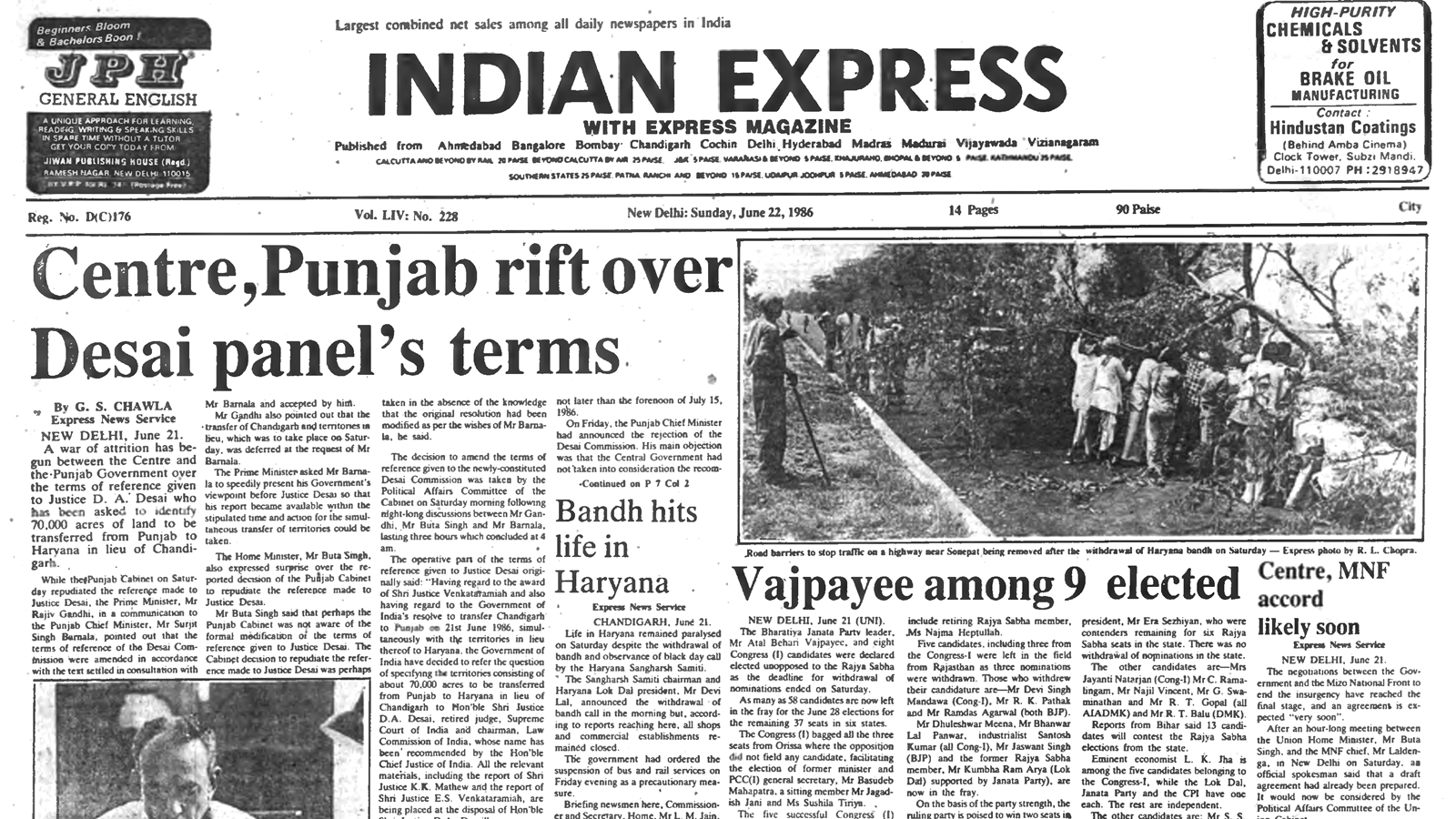
40 years ago June 22, 1986: Vajpayee among 9 elected
Indian Express