South China Morning Post
South China Morning Post··1 min read
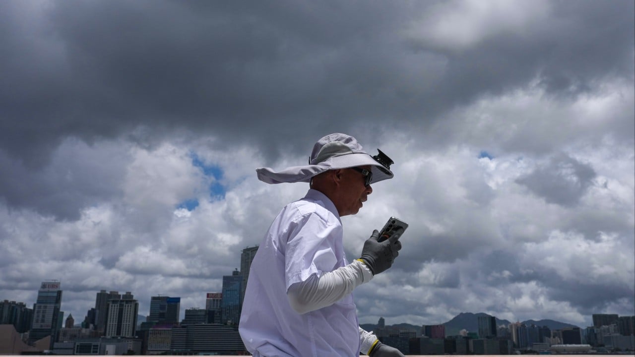
Hong Kong to keep T1 until at least 6pm as Tropical Storm Maysak comes closer
This story has been made freely available as a public service to our readers. Please consider supporting SCMP’s journalism by subscribing.
Hong Kong’s weather forecaster will keep the No 1 typhoon signal in force until at least Friday evening, after which it will assess whether to issue the No 3 warning depending on the tropical storm’s intensity.
The Hong Kong Observatory said Tropical Storm Maysak was estimated to be about 670km (416 miles) southwest of Hong Kong and was forecast to move northwest at around 10km/h (6.2mph) towards Hainan Island.
“In the past couple of hours, Maysak has adopted a northwesterly track, edging closer to Hainan Island while still maintaining some distance from Hong Kong. The No 1 signal will remain in force at least until 6pm on Friday,” it said.
The Observatory added that it would later assess the need to issue the No 3 warning, taking into account changes in Maysak’s intensity, the proximity of its strong winds to the Pearl River Estuary and local wind conditions.
It also said that winds were occasionally strong offshore and on high ground in the morning.
View original source — South China Morning Post ↗
Related stories

ESPN
SportsJul 3, 2026 · 1 min
Follow live: Switzerland take on Algeria in round-...
ESPN

Philippine Daily Inquirer
TechnologyJul 3, 2026 · 1 min
Netflix revives Gene Wilder’s voice with AI for new Willy Wonka competition series
Philippine Daily Inquirer
ABC News
EntertainmentJul 3, 2026 · 1 min
Gary Glitter faces new charges of sexual abuse against girl under 14
ABC News

TASS
SportsJul 3, 2026 · 1 min
Ronaldo’s sister says he will end football career after FIFA World Cup
TASS