Indian Express
Heavy rain alert in North Bengal until July 20, weather department sounds caution
3 min readKolkataJul 18, 2026 05:04 PM IST
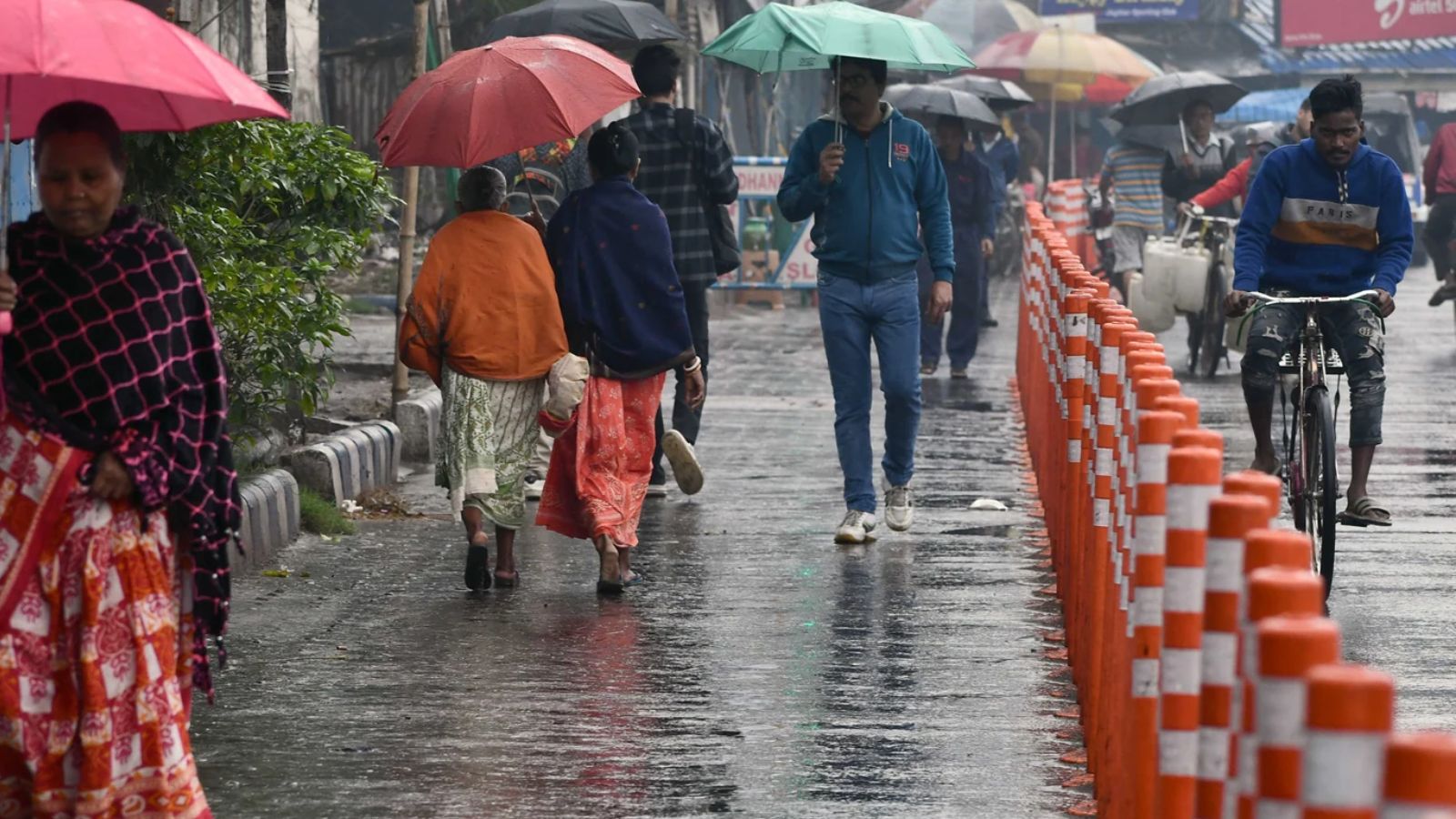
The possible impacts forecasted for North Bengal from July 18 to 20 include high probability of landslides in the hilly areas of Darjeeling and Kalimpong, (Express/File photo)
Written by Subhosree Modak
The India Meteorological Department (IMD) in West Bengal on Saturday issued an extremely heavy rainfall warning for the northern districts of Darjeeling, Kalimpong, Jalpaiguri, Alipurduar, and Coochbehar until Sunday. The regions have been issued an Orange alert on Monday, before scaling down to a Yellow alert on July 21 and 22.
However, other regions of North Bengal will experience moderate rain or thundershowers on Saturday and Sunday, the IMD stated in its comprehensive seven-day weather forecast.
The possible impacts forecasted for North Bengal from July 18 to 20 include high probability of landslides in the hilly areas of Darjeeling and Kalimpong, sudden flash floods and waterlogging in low-lying areas, drastically reduced visibility during downpour, potential damage to unsecured structures or wall collapses of vulnerable kutcha houses, rising water levels in the Teesta, Torsa, Jaldhaka, and Raidak rivers, damage to standing crops, and lightning hazards in open fields.
Kolkata to be cloudy
However, the capital city area is expected to show variable wet conditions ahead across Kolkata, Dumdum, Salt Lake, and Howrah. The metropolitan region will experience partly cloudy to generally cloudy skies with light rain or thundershowers till Sunday, maintaining maximum temperatures around 34°C to 35°C and minimums near 27°C to 28°C, the weather department said.
A distinct surge in weather activity is expected on Monday, when proper thunderstorms with rain are anticipated to impact all stations. In the subsequent days, the weather will shift back to generally cloudy skies punctuated by one or two to a few spells of rain or thundershowers, resulting in a cooling trend where maximum temperatures scale down between 30°C and 32°C, while minimum nighttime temperatures are set to drop comfortably down to 24°C to 26°C.
The southern districts are likely to experience widespread light to moderate rain or thundershowers covering most areas until July 20, accompanied by thunderstorms, lightning, and gusty winds reaching speeds of 30–40 km/hr at one or two places over South 24 Parganas, East and West Midnapore, Jhargram, Bankura, Purulia, West Burdwan, Birbhum, Murshidabad, and Nadia. This activity will intensify from July 21 to 24, bringing heavy rain (7–11 cm) at one or two places over North and South 24 Parganas, East Midnapore, Nadia, and Howrah, with severe thunderstorms and gusty winds shifting from 30–40 km/h up to 40–50 km/h. Between July 18 and 20, these weather systems are likely to bring specific possible impacts to the southern parts of the state, including targeted damage to standing crops and horticulture, lightning strikes in open fields, and temporary waterlogging or sudden inundation in low-lying areas and road underpasses.
Weather department advisory
Story continues below this ad
The meteorological department has issued instructions for public safety. Residents are advised to take shelter in safe, permanent places during active thunderstorms, lightning, or heavy rain, and avoid taking shelter under trees, electric poles, or vulnerable, unsecured structures; stay away from active water bodies, avoid all movement in areas heavily prone to landslides and waterlogging, and plan commutes carefully as local traffic will be managed judiciously to navigate waterlogging hazards.
(Subhosree Modak is an intern with The Indian Express)
View original source — Indian Express ↗
Related stories

The Punch
WorldJul 18, 2026 · 1 min
Anambra teacher accused of flogging 12-year-old boy to death surrenders to police
The Punch
The Punch
WorldJul 18, 2026 · 1 min
Borno commissioner shares 15-second video of kidnapped students at summit
The Punch

BBC
WorldJul 18, 2026 · 1 min
Murder investigation after woman found dead following street altercation
BBC

Philippine Daily Inquirer
WorldJul 18, 2026 · 1 min
Binibining Pilipinas 2026 begins Grand Coronation Night
Philippine Daily Inquirer